My Must-Have Hunting App:
Scout To Hunt
December 16th, 2021
5 minute read
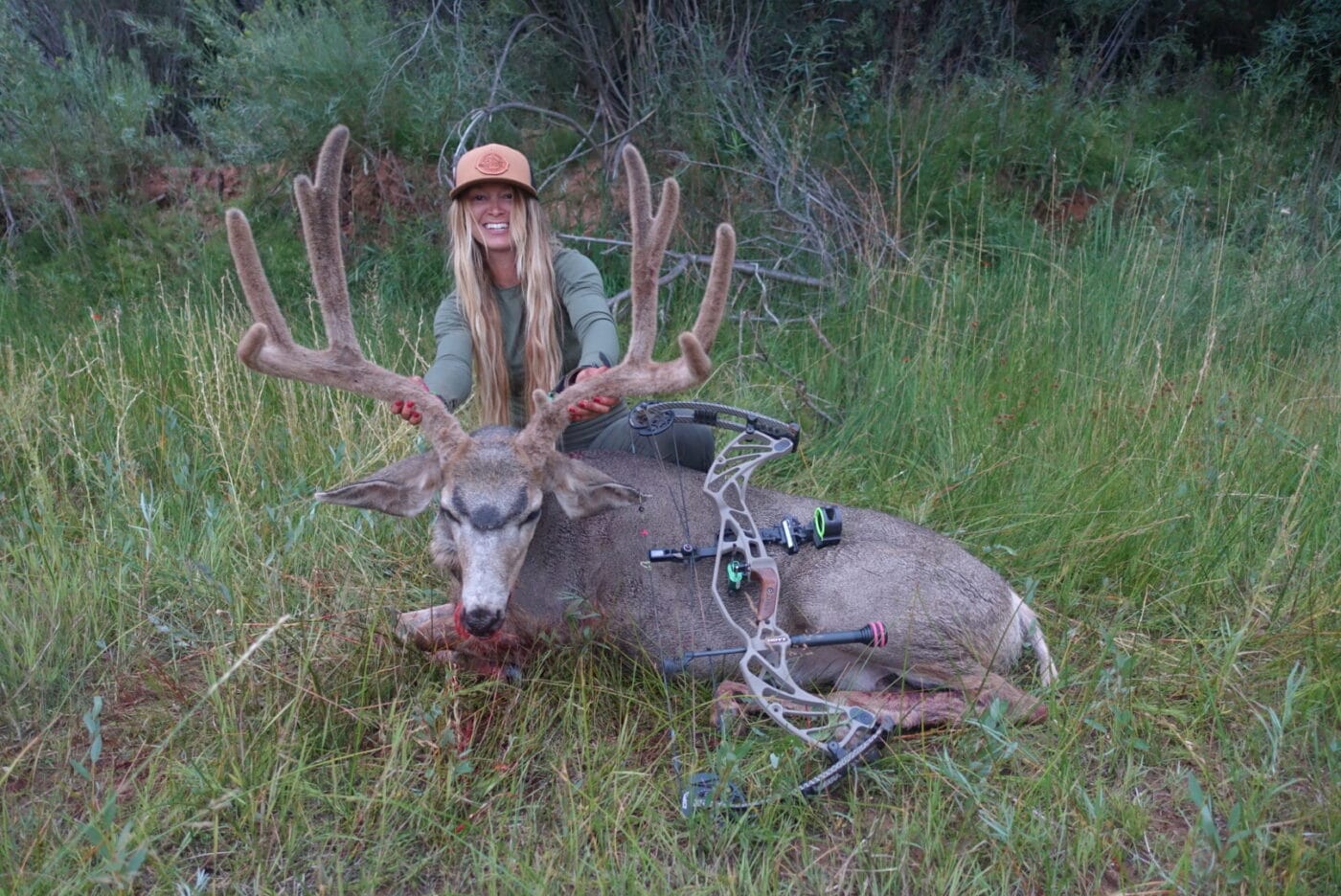
As an outdoorswoman, I’m constantly searching for new lakes to fish and public land boundaries to hunt. When I started hunting, I remember relying on old-school paper maps. If I was lost, I’d have to take out that giant map, stop what I was doing, and try to figure out where I was and where I was going.
I also remember when a variety of companies started launching their hunting map apps for iPhones and androids. Throughout years of trying to make them work, I struggled with their inconsistent and unreliable data, and inability to find my location.
It wasn’t until the Scout To Hunt app came out that I felt like I could finally do everything I needed for hunting, fishing and camping right from my phone.
What Is Scout To Hunt?
Scout To Hunt (STH) is a western state mapping app. As a western hunter, this covers all the states and units that I hunt every year. STH’s specialization in the states of this area leads to unbeatable quality and detail for the mapping app, something completely unmatched by any other mapping system on the market in my opinion! It’s a mapping app built by hunters, for hunters. My favorite part is that it’s free!
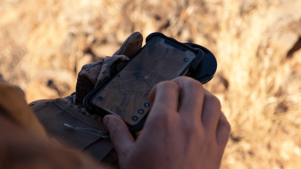
Scout To Hunt promises that the essential map features will be forever free. This includes downloadable offline mapping for when you’re out of service, which is common for us outdoorsmen!
STH Map Features
Free Full-Access Essential Map features include:
- HuntReady Boundless Offline GPS Maps: Save offline maps to use when you’re out of service.
- Living Map Automation: HuntReady offline maps automatically update for you… forever! This means that if forest service rules or roads change, your map will already update automatically. Your offline, downloaded maps will update as well. Once you download them they will stay updated and on your phone for good!
- Downloading Maps: You can download an entire Hunt Unit (GMU) while online and have it with you on your phone when you’re out of service.
- Smart Tracking: This feature allows you to track your hiking or driving path. I like to use this when I’m in a new area that I’m unfamiliar with. Simply turn on your tracker and forget about it. The tracking feature tracks your path while your phone is away in your pocket and uses minimal battery while doing so. If you struggle finding your way back, pull up your track and follow it home. I love this feature!
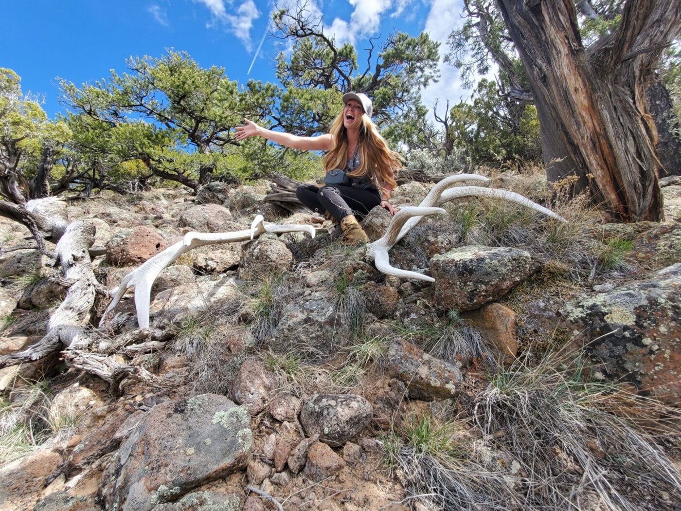
- Sharable Markers: Mark a shed, wallow, trail cam, and more with designated and labeled markers. You can share these markers with your friends to show them your location!
- Detail Like No Other: The detail behind the map is unbelievable. You don’t lose the quality or detail in the map when zooming in, or offline.
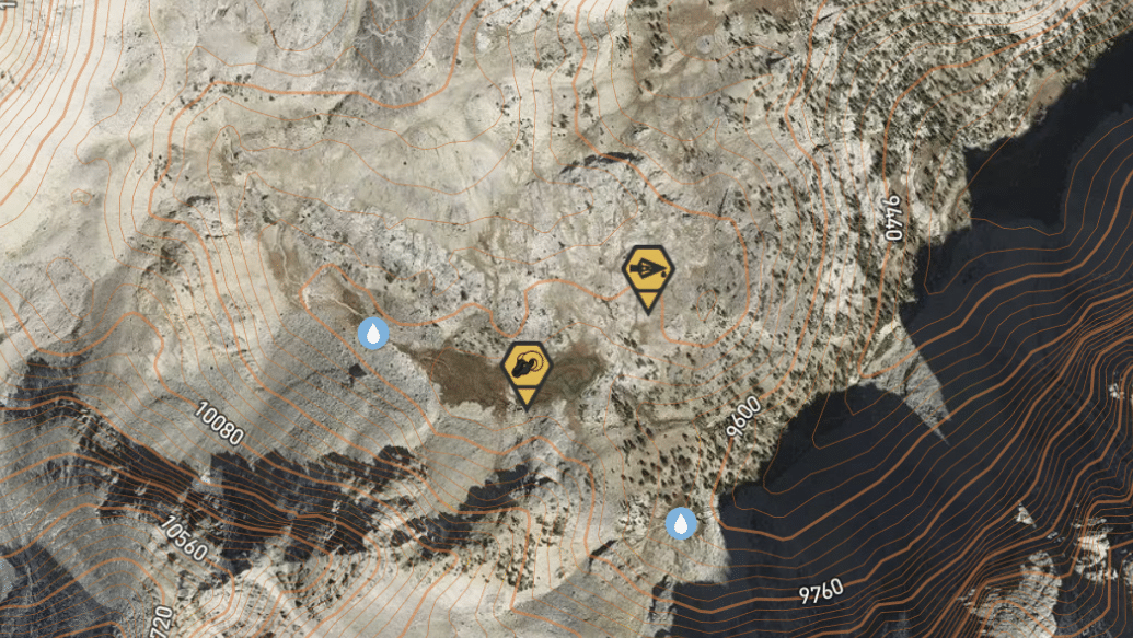
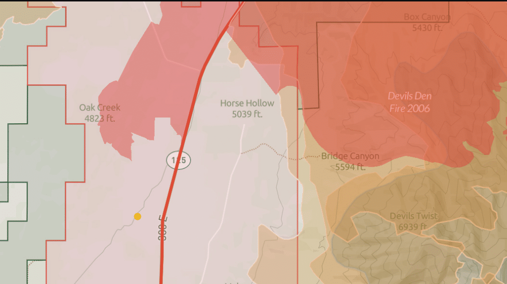
- Visually Enhanced Mapping Layers: Private/Public land boundaries, water sources, active fires, burn areas and many more…
Protected Info
Scout To Hunt has taken the oath to encrypt your data on the app. This means that your private map markers, tracking, and other personal map data is all protected from anyone having access to it.
Why Do You Need It?
Besides hunting and fishing, a mapping app can be used as an essential survival tool. Knowing where you are, tracking your distance and hike location, and marking features such as springs, camp spots, elk, and more could be assets essential to survival.
I use my Scout To Hunt app most for hunting, shed hunting and fishing. When hunting, I’ll set and mark trail cameras on public land. Before exploring public land I’ll do research on the app and look for water, potential bedding areas, and transition zones for deer and elk.
After having success on a trail camera, I will use the tracking feature to track the best way in and out of the area and set a blind to hunt it. If I harvest an animal, I will use the “blood” marker on my app to mark blood as I track the animal.
For shed hunting, I spend hours on the app looking for ideal winter range conditions for elk. The main things I look for to find good shed country is as follows:
- Far away from roads or people.
- Elevation, typically 6,000-8,000 feet, depending on the year and area.
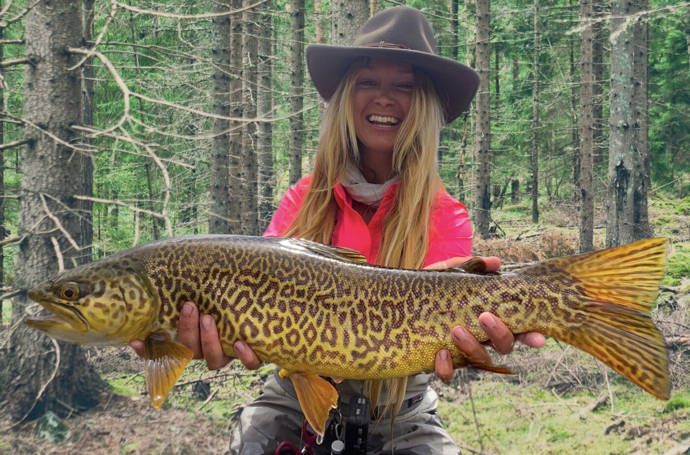
For fishing, I love to seek out new no-name, no-trail fishing spots. I’ll move through the app and mark lakes and streams that I feel hold potential for big fish. I’ll track my way in on the app, mark where I parked my truck, and explore the fishing area. This technique has helped me discover some of my favorite, top-secret fishing locations.
Conclusion
Knowing where you are and where you’re going is a valuable tool. I’ve enjoyed using Scout To Hunt from my phone and getting rid of the old paper maps. With forest service roads and rules always changing, it’s nice to have an app at my fingertips that is always updating and progressing. It’s available for Apple and Android-based phones. Check out the link below to learn more.
Editor’s Note: Please be sure to check out The Armory Life Forum, where you can comment about our daily articles, as well as just talk guns and gear. Click the “Go To Forum Thread” link below to jump in and discuss this article and much more!
Join the Discussion
Featured in this article
Continue Reading
Did you enjoy this article?

 38
38


